


Live Earth Map Satellite View
3.8111.00 Reviews
App Specs
- Version
- 18.0.1
- Updated On
- License
- Free
- Downloads
- 1,000,000+
- Developer
- Galaxy studio apps
- Categories
- Maps & Navigation
- Platform
- Android, iOS
Screenshots


 Analysis by AppCompare
Ever found yourself dreaming of exploring the world without leaving your couch? Well, let me introduce you to the Live Earth Map Satellite View app, your new best friend for virtual globe-trotting. I decided to take this app for a spin, and boy, was it an adventure!
Getting Started with Live Earth Map Satellite View
First things first, downloading the app was a breeze. Whether you're an Android aficionado or an iOS enthusiast, you'll find it easily on your respective app store. Once I fired it up, the interface was super intuitive. Seriously, it's like the app knew I was itching to explore!
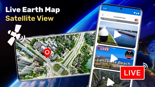
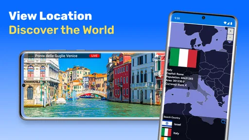
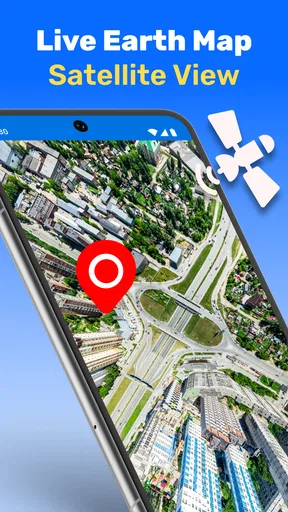
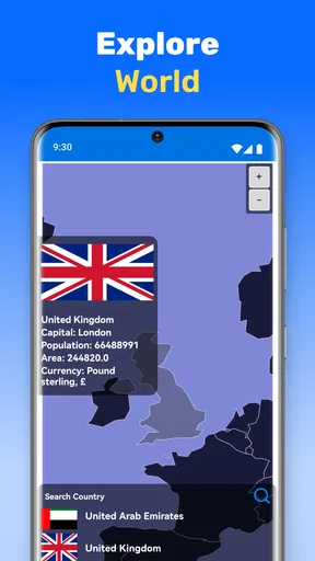
The app greets you with a sleek world map, and with just a couple of taps, you can zoom into any corner of the globe. The satellite imagery is crisp and clear, providing a bird’s eye view of pretty much anywhere you want to go. I felt like a modern-day Magellan, minus the sea sickness!
Features That Wow
One of the standout features that caught my attention was the real-time traffic updates. Living in a bustling city, this was a game-changer. You can literally see the traffic congestion levels, which is perfect for planning your commute or just avoiding the city's hustle and bustle.
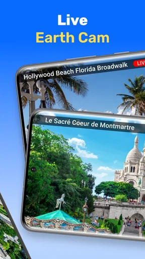
Another cool feature is the 3D view. I was floored by how immersive it felt. I could explore iconic landmarks like the Eiffel Tower and the Statue of Liberty from every angle. It’s almost like having a mini-vacation without the jet lag.
The app also offers a street view option. I took a virtual stroll down the streets of Tokyo, and it felt almost real. The clarity of the imagery makes it feel like you’re actually there, minus the language barrier and the need for a passport.
User Experience
As someone who isn’t exactly tech-savvy, I appreciated how user-friendly the Live Earth Map Satellite View app is. Navigation is smooth, and it didn’t take long for me to get the hang of it. The app runs seamlessly, with no noticeable lags or crashes, which is always a plus in my book.
Worth Reading Before You Choose

Flipboard Shows What News Apps Must Do Beyond the Feed

Switching to Android Auto Means Rethinking Your Driving Routine

Google Calendar Makes a Crowded Week Easier to Manage

Ludo King Makes the Most of the Minutes Between Plans

Baby Panda World Brings Quick Play to Modern Phones, but Its Game Library Feels Busy

ESPN’s Live Game View Makes Following Close Games Easier
There’s also a handy little feature where you can bookmark your favorite spots. I found this particularly useful for keeping track of places I’d like to visit someday. It’s like creating a personalized travel bucket list!
Why You Should Try It
If you’re someone who loves exploring new places or just wants to keep an eye on the traffic situation in your city, this app is a must-try. It brings the world to your fingertips, and the convenience of having such detailed maps and views in your pocket is unparalleled.
Plus, with the added bonus of being able to explore places in 3D, it’s a great tool for both education and entertainment. Imagine helping your kids with geography homework or planning out a future trip with such a detailed view!
In conclusion, the Live Earth Map Satellite View app is more than just a map; it’s a gateway to the world. Whether you’re planning a trip, checking traffic, or just exploring for fun, this app has got you covered. So, why not give it a whirl and see the world from the comfort of your home?
Pros
- Real-time satellite updates enhance navigation.
- Detailed maps allow easy exploration.
- User-friendly interface for seamless use.
- Offline mode available for remote areas.
- Street view feature adds immersive experience.
Cons
- Requires constant internet for live updates.
- Ads can be intrusive during use.
- High battery consumption on prolonged use.
- Limited customization options in free version.
- Some areas lack high-resolution imagery.
FAQs for Live Earth Map Satellite View
What features does Live Earth Map Satellite View offer?
Live Earth Map Satellite View provides real-time satellite imagery, street views, and 3D maps. It also includes GPS navigation, location search, and the ability to explore landmarks worldwide. These features make it a comprehensive tool for travelers, geography enthusiasts, and anyone curious about the world.
Is Live Earth Map Satellite View free to use?
The app offers a free version with basic features, but there may be in-app purchases or premium versions available. These might provide an ad-free experience, enhanced map features, or additional functionalities. Be sure to check the app’s store listing for detailed pricing information.
How accurate is the satellite imagery in Live Earth Map Satellite View?
The app uses data from reliable satellite sources to provide as updated imagery as possible. However, the accuracy can vary depending on the location and the frequency of updates from the satellite providers. Users should consider this when using the app for navigation or detailed exploration.
Does Live Earth Map Satellite View require an internet connection?
Yes, an active internet connection is typically necessary to access the latest satellite images and map data. Some features might be available offline, but for the most accurate and updated information, a stable connection is recommended while using the app.
Can I use Live Earth Map Satellite View for navigation?
Yes, the app includes GPS navigation features, allowing users to plan routes and get directions. However, ensure your device’s GPS is enabled for optimal performance. While it’s a helpful tool for navigation, always have a backup plan, especially in areas with poor connectivity.


